Ewaso Ng’iro River Basin
Supporting Indigenous movements in Northern Kenya
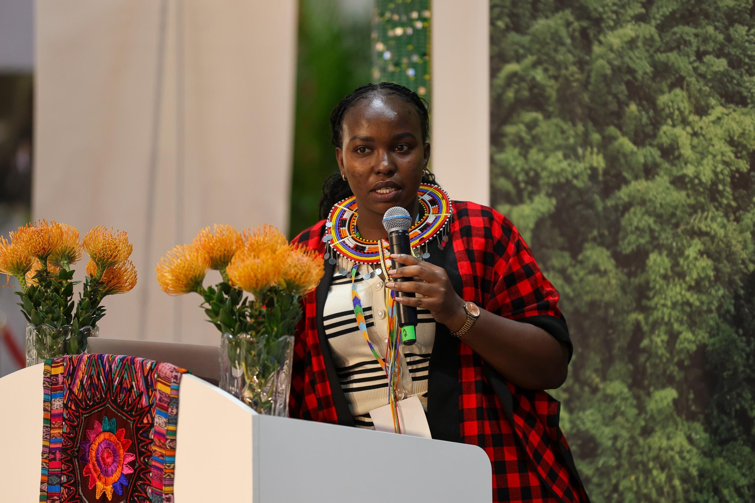
About
In Kenya, IMPACT will work with Indigenous communities to document and seek recognition for the Upper Ewaso Territory River Basin – an area that supports more than 3.5 million people across ten counties, whose majority are Indigenous pastoralists communities – as a Territory of Life (also known as an ICCA), which is a territory or area conserved by Indigenous Peoples and Local Communities (IPs and LCs). By doing so, IMPACT aims to restore, preserve and promote traditional governance systems as well as Indigenous knowledge and practices, secure Indigenous rights to land and natural resources, restore sacred sites and totems, and preserve Indigenous languages.
Under this initiative, ICI supports the improved management of 826,184 hectares of community lands, with the potential for registration as ICCA’s, while engaging 25,000 direct project stakeholders.
Led by
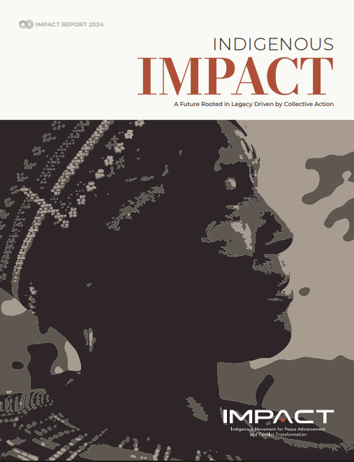
Indigenous Movement for Peace, Advancement & Conflict Transformation (IMPACT)
Key ICI achievements in Ewaso Ng’iro River Basin
-
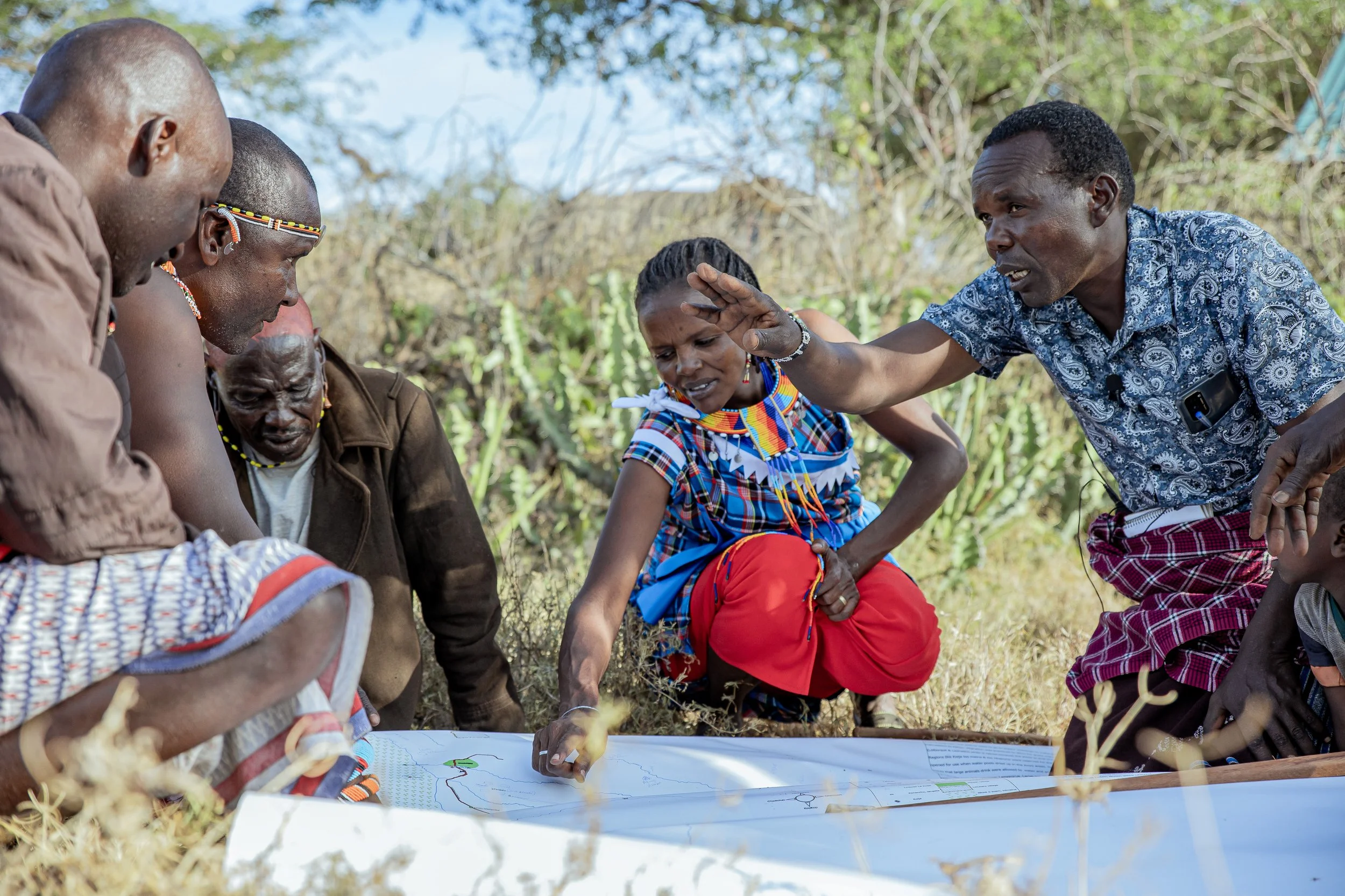
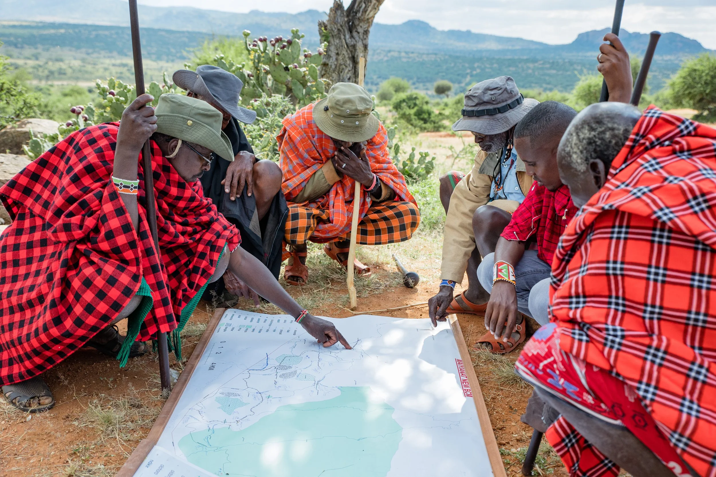
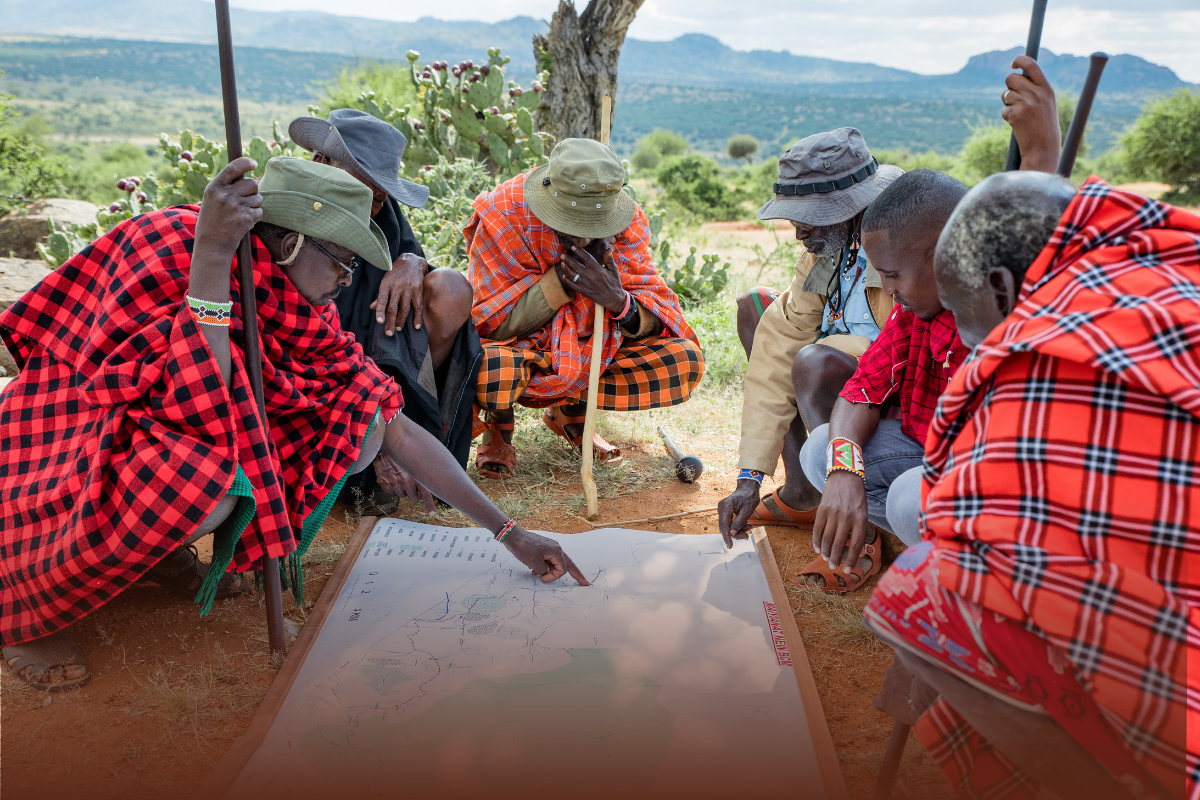
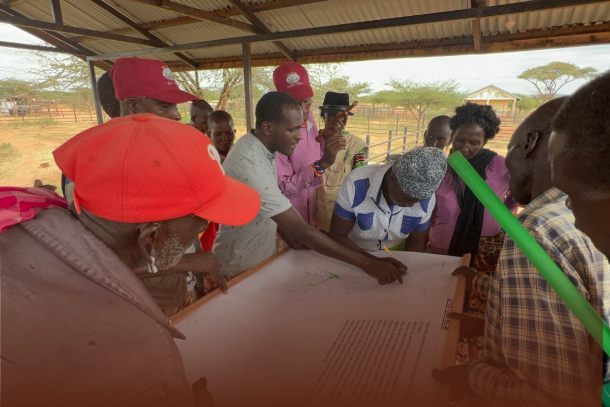
![Group of Maasai elders and community members in Kenya in traditional clothing gathered around a large map on the ground outdoors, discussing with mountains and cactus plants in the background.]()
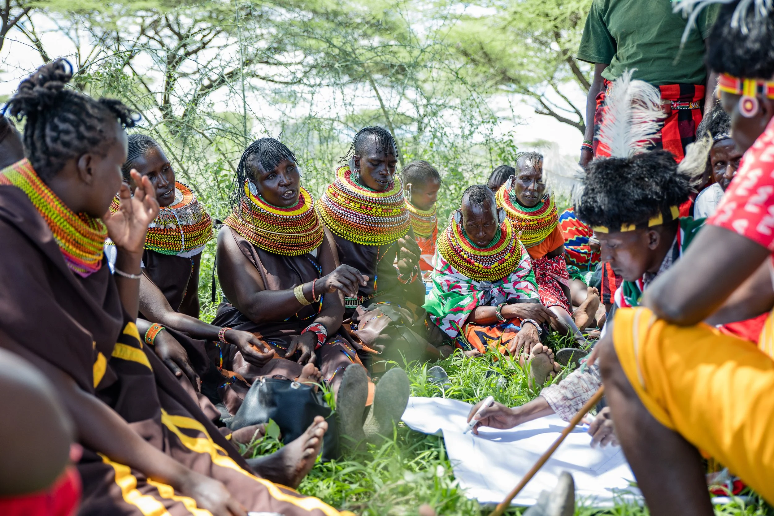
22 Biocultural Maps and Calendars completed
-
![Indigenous African people from Kenya sitting on the grass in traditional attire, engaged in a community gathering or meeting outdoors.]()
8 Biocultural Protocols under development at the ethnic group level
-
![A group of Indigenous Maasai people in traditional clothing walking under a large tree with green leaves and a blue sky background in Kenya.]()
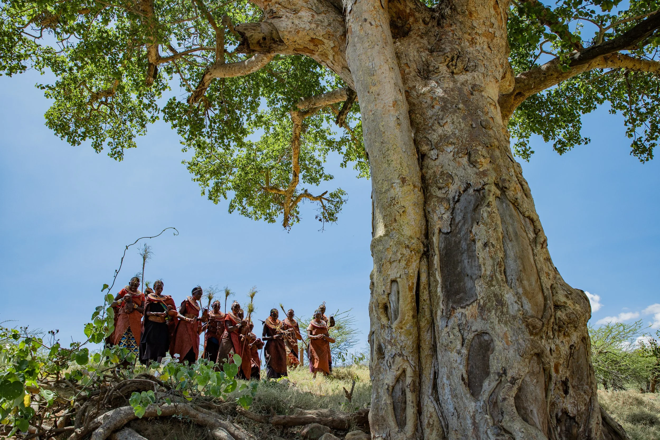
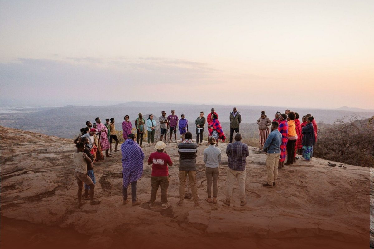
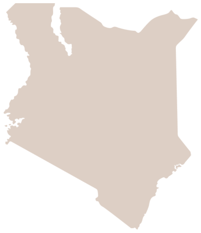
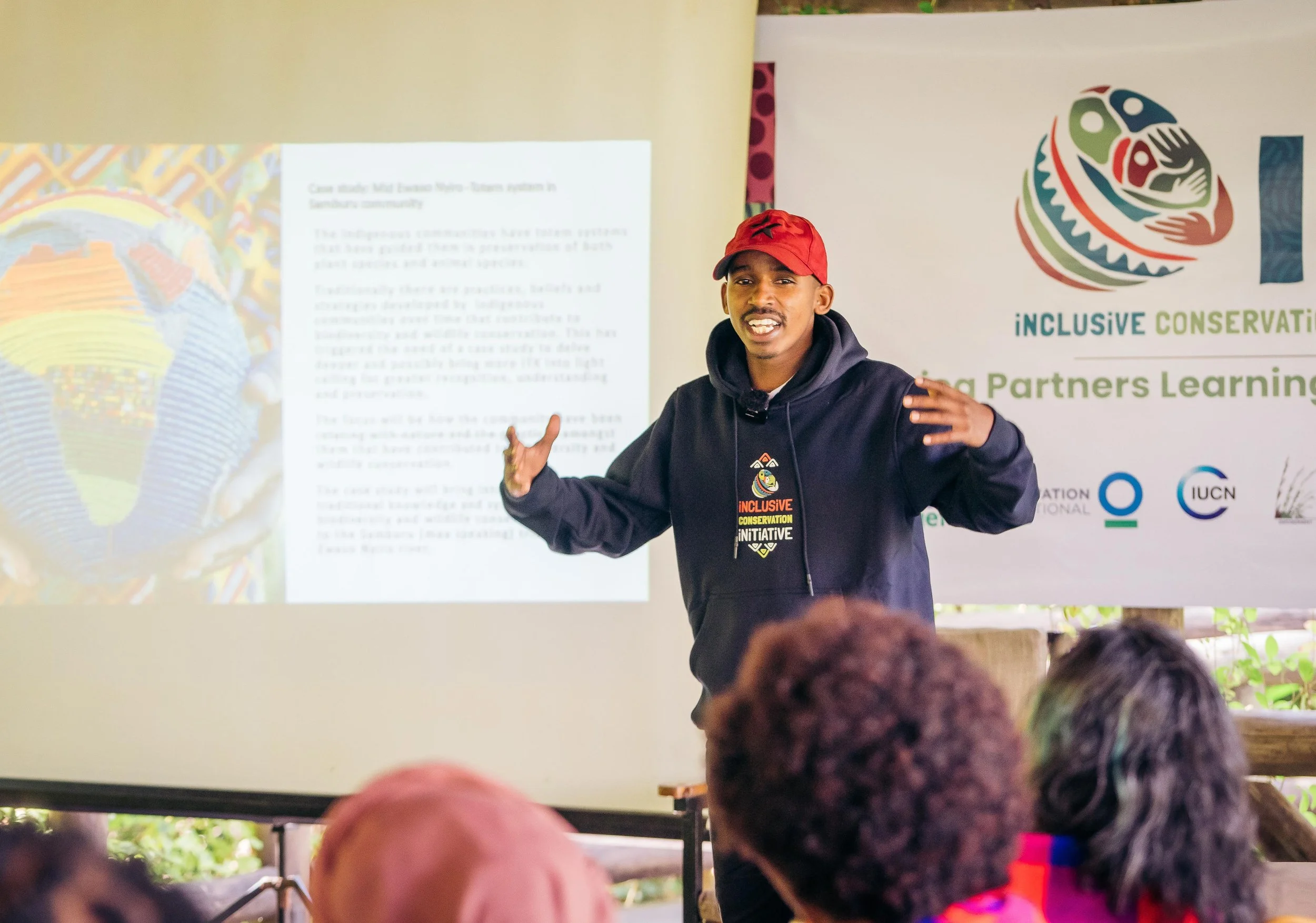
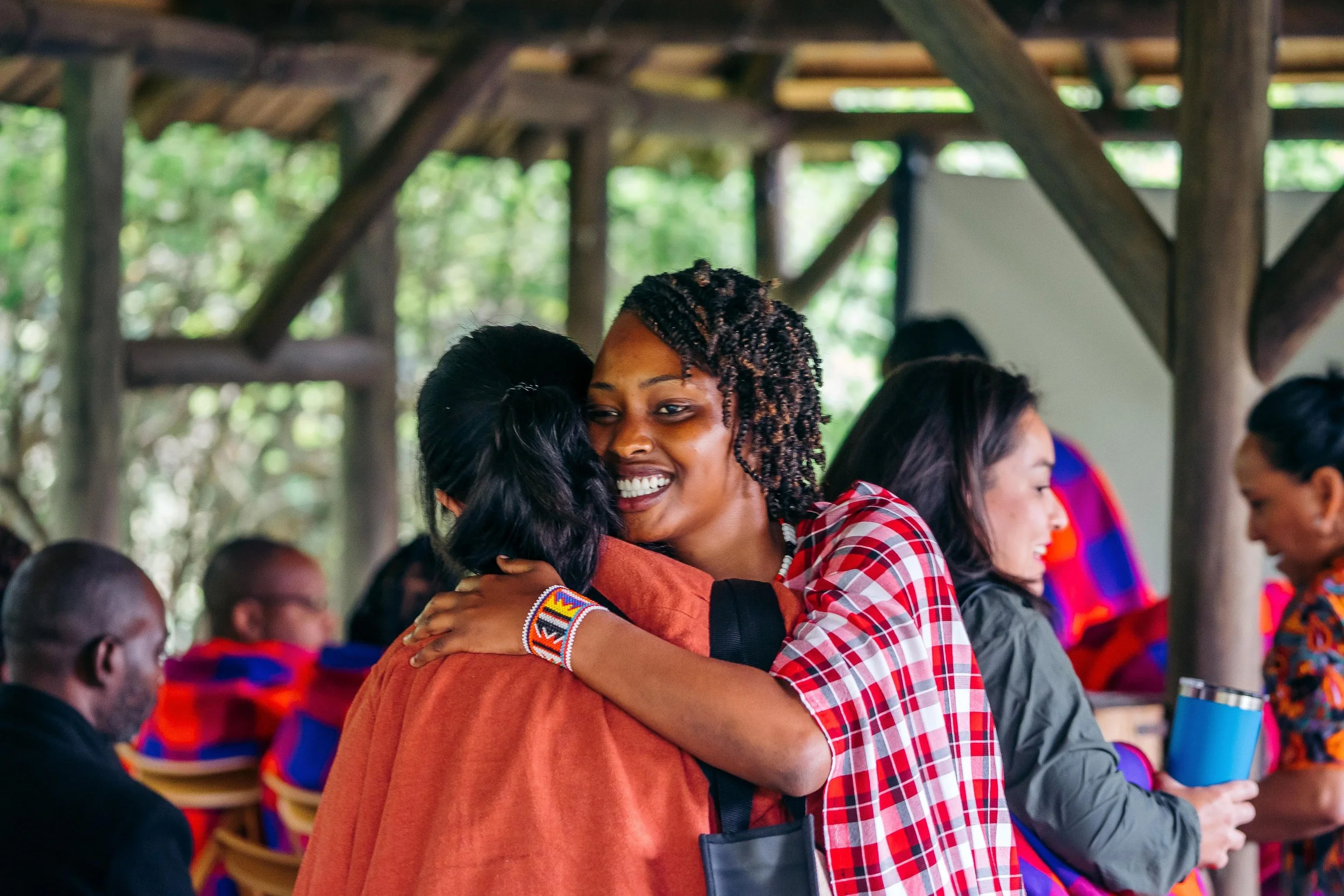
2025 Annual ICI Summit convened over 200 community leaders and stakeholders
to strengthen collective action, advance a grassroots movement for inclusive conservation and drive on the ground implementation of the Inclusive Conservation Manifesto, developed at the 2024 ICI stakeholder forum.
-
![]()
In collaboration with the University of Nairobi
developed an “Inclusive and Rights-based Approaches to Conservation and Development: Indigenous Peoples in the African Context” certificate course.
-
![]()
Established an ICI Research Program
to support biocultural conservation and community-based monitoring, guided by traditional knowledge systems.
Explore Related News from IMPACT-Kenya
The Region
Approximate area in hectares:
3,468,488
Indigenous Borana; Gabra; Maasai; Rendille; Samburu; Somali; Turkana; Pokote population:
170,500
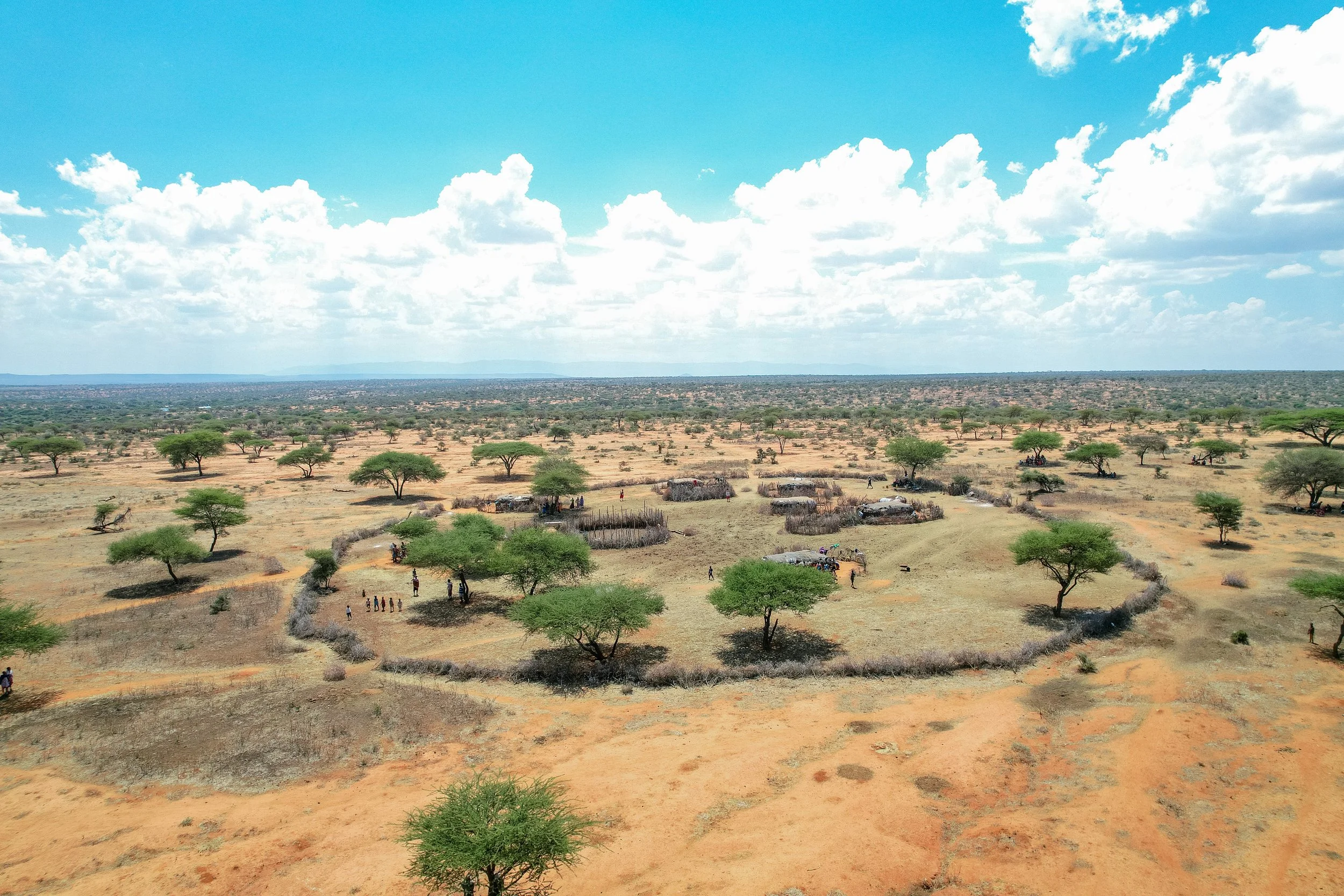
The Ewaso Ng’iro River Basin extends from the northwestern slopes of Mount Kenya across the Laikipia Plateau to the arid rangelands in the north and northeast. This area is globally significant as a cradle of biological and cultural diversity that has been collectively managed by pastoralist communities for centuries.
The River Basin crosses seven political counties in Kenya, including Meru, Laikipia, Samburu, Isiolo, Wajir, Marsabit, and Garissa. It extends between longitudes 36° 30’ and 37° 45’ east and latitude 0° 15’ south and 1° 00 north and forms part of the larger Juba basin, which covers an area of 47,655km2 in Kenya, Ethiopia and Somalia.
The Ewaso Ng’iro River Basin is characterized by several distinct ecological zones. The basin begins on the slopes of Mount Kenya, which are humid and forested. It then progresses towards the semiarid Laikipia Plateau and the arid northern rangelands. The basin consists of 92% dryland ecosystem. These drylands contain a variety of endemic animal, plant, and microbial species that have developed special strategies to cope with the low and sporadic rainfall and the extreme variability in temperatures that prevail in dryland ecosystems.
The Ewaso Ng’iro River Basin contains significant levels of biodiversity. By some estimates, there are over 95 species of mammals, 550 species of birds, 85 species of amphibians and reptiles, 1,000 species of invertebrates and 700 species of plants in the area. The River Basin is a stronghold for several species of conservation interest. The slopes of Mount Kenya and Laikipia Plateau host 4 threatened bird species and 6 threatened mammal species, including the African elephant, black rhino, leopard, giant forest hog, bongo, and black-fronted duiker. Kenya’s rarer northern species can be found in the lowlands, including the oryx, gerenuk, reticulated giraffe, Somali ostrich and Grevy’s zebra. Both the Grevy’s zebra and reticulated giraffe are listed as endangered on the IUCN Red List.
About the Ewaso Ng’iro River Basin
Percentage of the country’s land area under recognized IP or LC ownership:
6%
(Source: RRI: 2015. Who Owns the World’s Land?)
Number of Land Defenders Killed 2016-2018:
4
(Source: Global Witness)
Biodiversity Significance
Local Context
-
Agriculture
Livestock
Non-timber Forest Products (NTFPs)
Tourism
-
Agricultural expansion and commercialization
Climate change
National and Regional Policies and Plans linked to tenure security
Loss of Indigenous knowledge
Infrastructure development (e.g. roads, railways, pipelines, transmission lines, wind farms, geothermal projects, airports, dams)
Tourism
Large-scale land acquisitions, real estate development, urbanization
More from IMPACT-Kenya
-
![]()
Annual Report
-
![]()
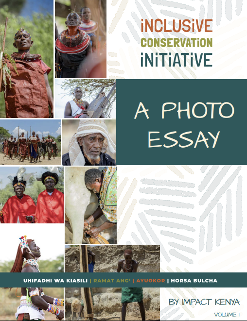
Photo Essay
-
![]()
Community Knowledge Products