

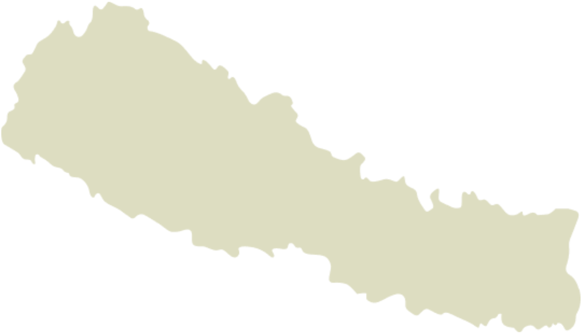
Annapurna Area
Strengthening Indigenous leadership in the Annapurna Area
About
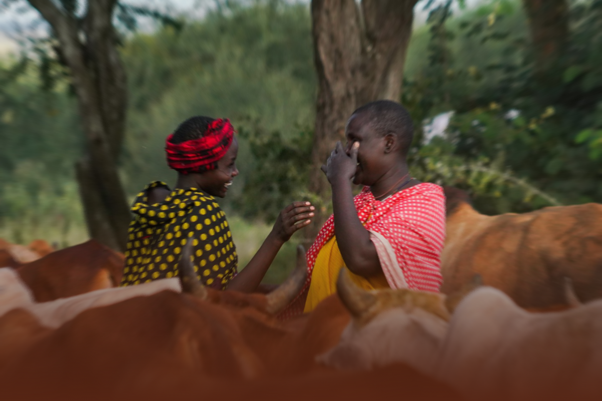
In the Annapurna Area of Nepal, NEFIN is working to strengthen Indigenous Peoples and Local Communities (IPs and LCs) governance structures, preserve cultural sites, and raise awareness on the importance of the contributions of IPs and LCs to conservation and to generating global environmental benefits.
Through this initiative, ICI is strengthening governance and community-led conservation, resulting in improved management of 381,450 hectares and engagement of 25,000 direct project stakeholders.
Led by
Nepal Federation of Indigenous Nationalities (NEFIN)
Key ICI achievements in the Annapurna area
-
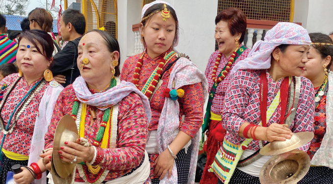
![Indigenous Nepalese women dressed in traditional and colorful clothing, holding cymbals, participating in a cultural celebration or festival.]()
500 fuel-efficient cookstoves distributed
500+ households trained, primarily benefiting women and reducing pressure on forests.
-
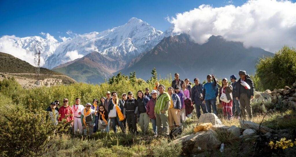
![Group of people hiking in a mountainous landscape with snow-capped peaks in the background.]()
491 Indigenous participants strengthened customary governance
through 5 Community-based monitoring and information systems (CBMIS) inventories and 7 validation workshops
-
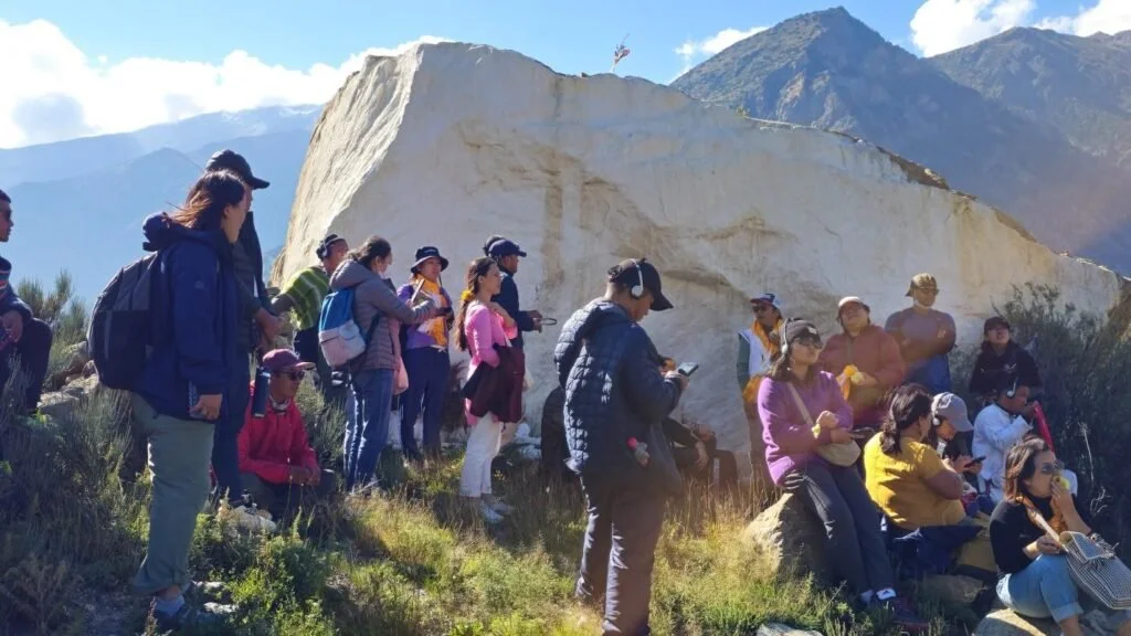
![Group of people gathered outdoors near a large white rock formation, with mountains in the background, some standing and some sitting, some using phones or listening to a guide, under a clear sky in the Annapurna Area near the Himalayas.]()
21 Indigenous representatives participated in local and national policy forums
while 125 participants (62% women) strengthened their advocacy skills through targeted trainings.
-
![]()
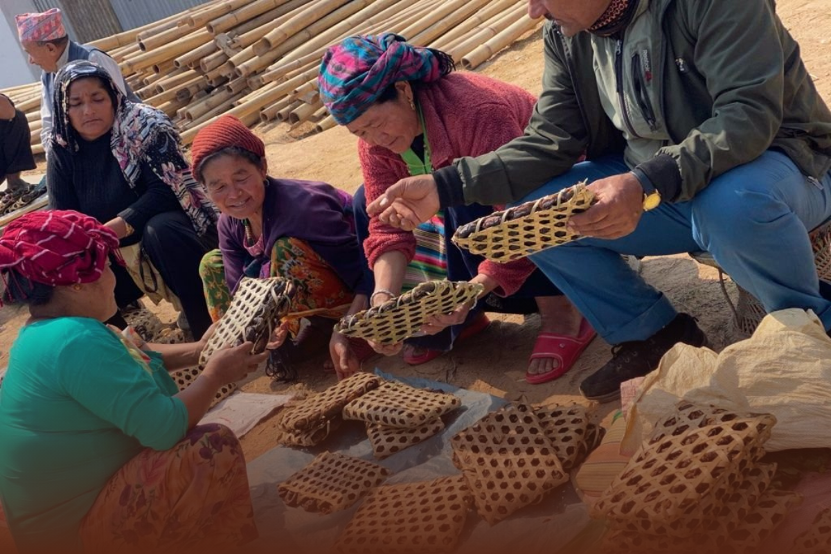
69 participants (majority women) strengthened livelihoods
rooted in Indigenous knowledge including weaving, bamboo crafts, food processing, bakery, barista training.
-
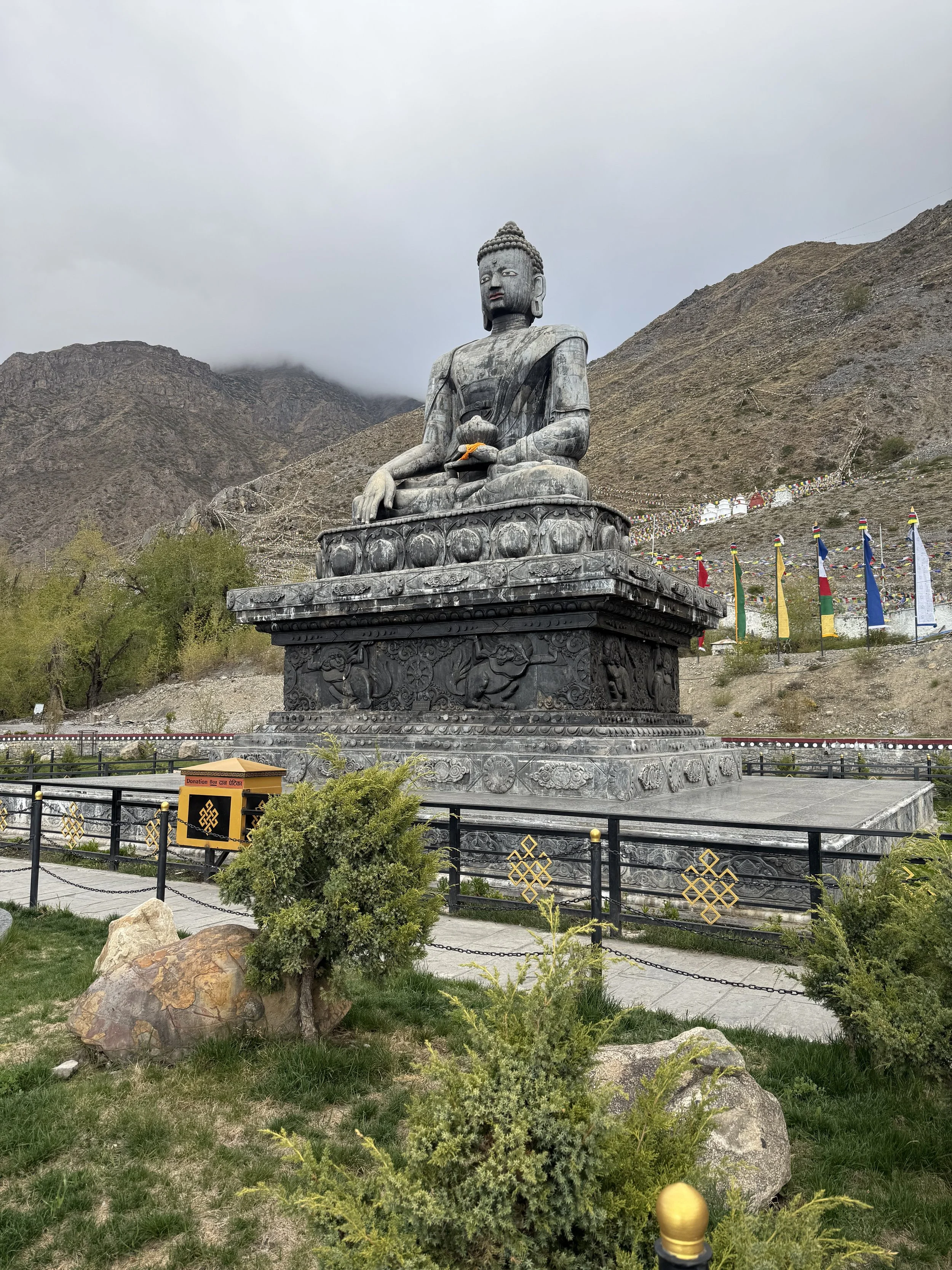
![Large black stone statue of Buddha sitting in a meditative pose, situated outdoors against a mountainous background with cloudy skies and colorful prayer flags in Nepal.]()
4 mapping/identification exercises completed (184 participants)
and 1 exchange visit conducted (30 participants).
-
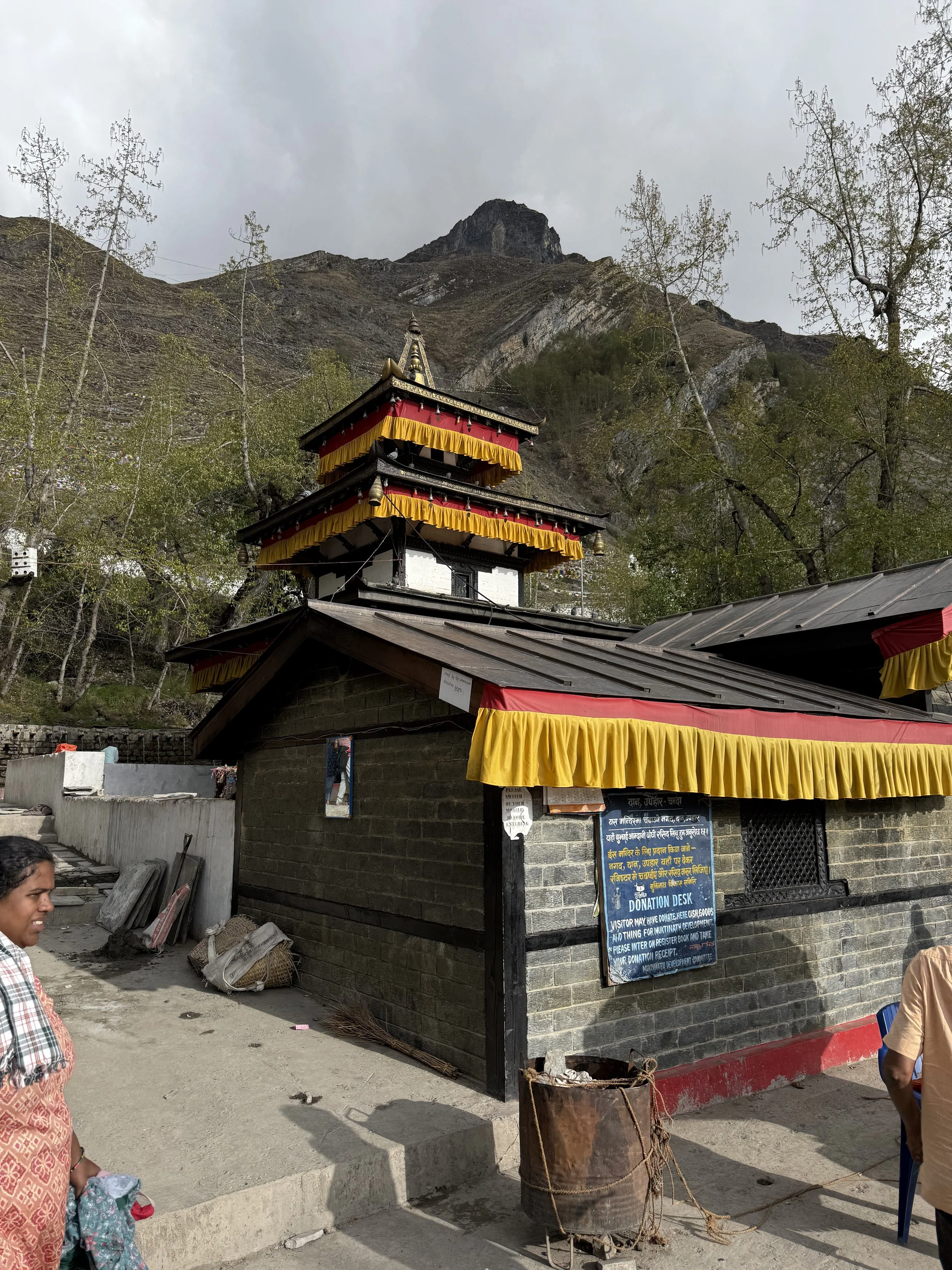
![A small temple with multiple tiers, decorated with red and yellow drapes, situated at the base of a mountain. There are people nearby and a donation desk outside in Nepal.]()
4 Indigenous knowledge case studies completed (including Oitungg system)
and 18 radio programs aired, reaching ~10,000 listeners.
Explore Related News from NEFIN

The Region
Approximate area in hectares:
787,900
Indigenous Gurung, Magar, Thakali, Manange, Baragungle, Tingaule Thakali, Lisu and Laweu population:
120,000
About the Annapurna Area
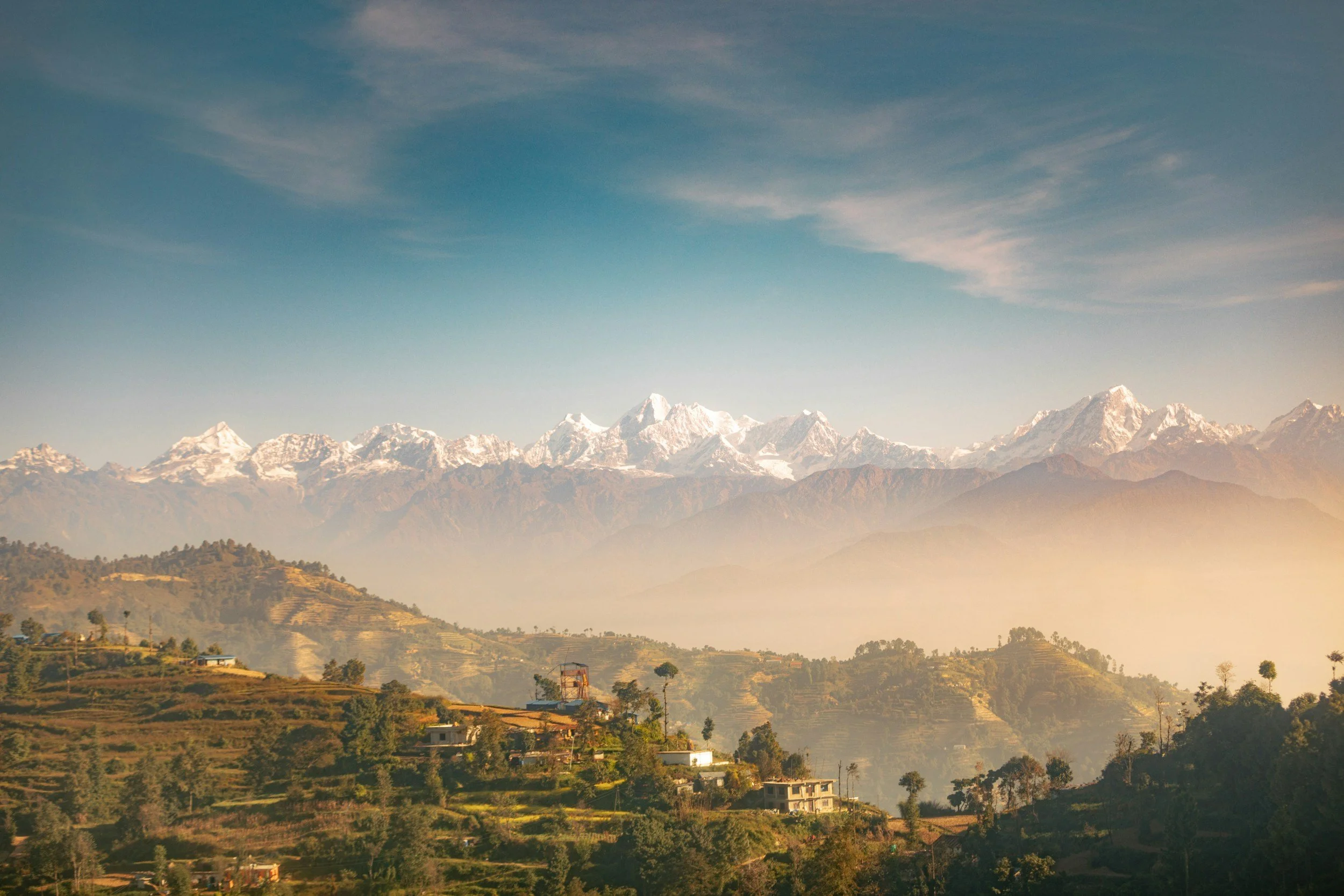
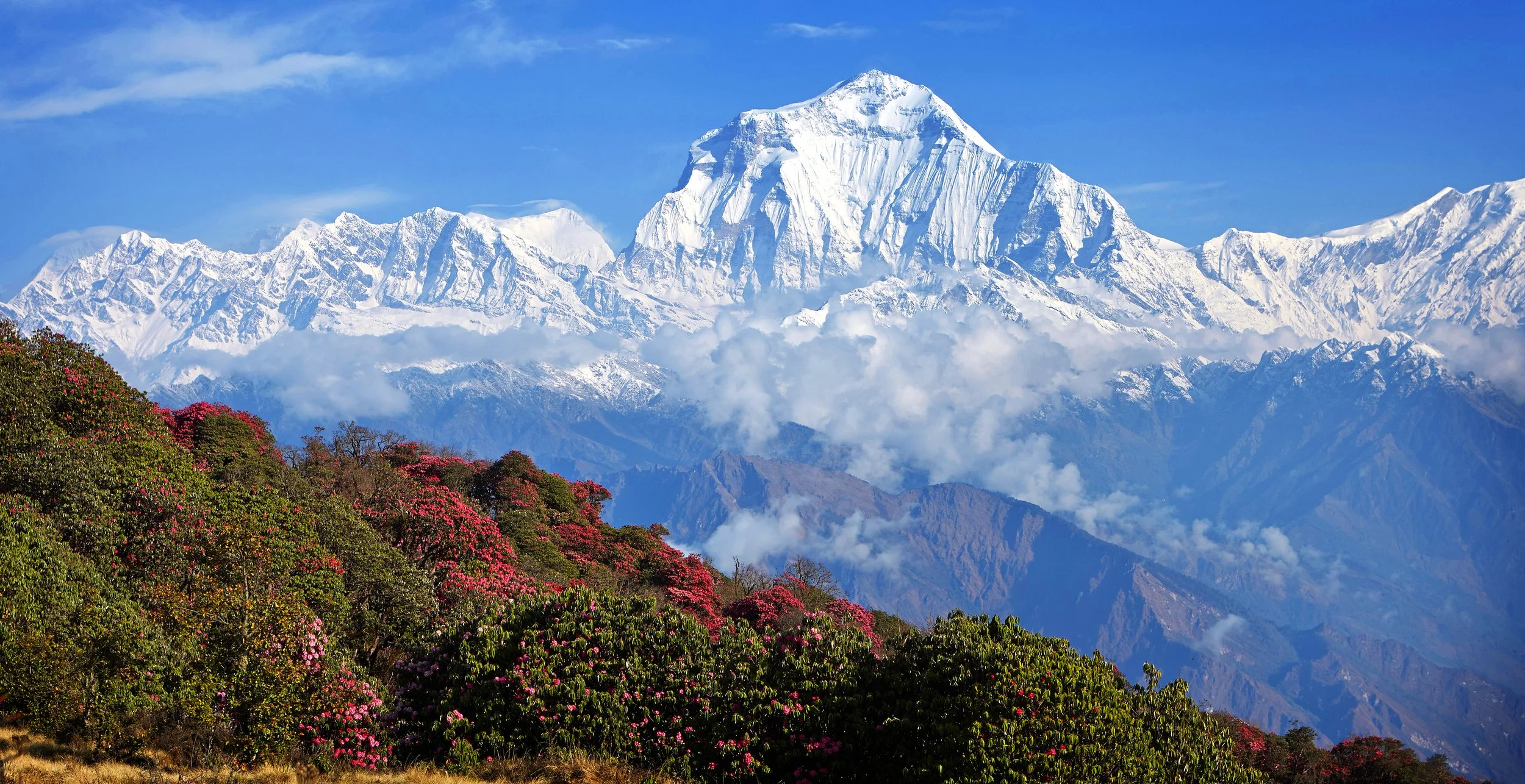
The Annapurna Area (AA) in Nepal holds extremely high biodiversity including 1,226 species of flowering plants, 105 mammals, 518 birds, 40 reptiles and 23 amphibians. Within a north-south span of 150 km, Nepal’s altitudinal range varies from 60m-8,848 m above sea level. This divides the country into 5 ecological zones, making it a country with a huge variation in physiographic and climatic conditions and one of the top-ten global biodiversity hotspots. Several features make the Annapurna region unique in the world. It has the world’s deepest river gorge—Kali Gandaki Gorge, which is 3 miles long and 1.5 miles wide, is a valley with fossils from the Tethys Sea dating to 60 million years ago. The region contains the world’s largest rhododendron forest in Ghorepani. Tilicho lake, located in Manang, north of Annapurna massif, is the world’s highest altitude fresh water lake. A forest carbon inventory undertaken in the Chitwan Annapurna Landscape (CHAL) estimated the total carbon stock in the area to be 540.1 million tCO2e, with an average of 725.9 tCO2e per ha.
The Annapurna Area is inhabited by a fairly large population of Indigenous Peoples, comprising 120,000 residents of different cultural and linguistic groups. Gurung and Magar nationalities are the dominant groups in the south, whereas Thakali, Manange and Baragungle are dominant in the north. The proposed territory of the Annapurna Conservation Area has been managed for nearly three and a half decades under a community stewardship model by the National Trust for Nature Conservation (NTNC), a semi-government agency. The handover of the conservation area to communities was planned for 2012 and then again with the new constitution of Nepal which came into effect in 2015. Devolution of the governance system under the new constitution sparked another demand by the newly formed local rural municipalities to take over the management of the AA in 2018. While disputes and discussions between NTNC, ACAP and the local government were settled, NTNC’s mandate of managing AA through ACAP was further extended for one more year (January 2021) by a decision of the cabinet. NTNC and its ACAP program also envisions that the AA will be transferred to and managed by the Indigenous Peoples and Local Communities through a Council, and the ICI project will support the transfer process and the capacity of Indigenous institutions to take on management of the conservation area.
Percentage of the country’s land area under recognized IP or LC ownership:
13%
(Source: RRI: 2015. Who Owns the World’s Land?)
Number of Land Defenders Killed 2016-2018:
NA
(Source: Global Witness)
Biodiversity Significance
Local Context

-
Agriculture
Livestock
Agroforestry
Non-timber Forest Products (NTFPs)
Tourism
Payments for Ecosystem Services
-
Agricultural expansion and commercialization
Climate change
Infrastructure development (e.g. roads, railways, pipelines, transmission lines, wind farms, geothermal projects, airports, dams)
Tourism
Invasive species
Human-wildlife conflict